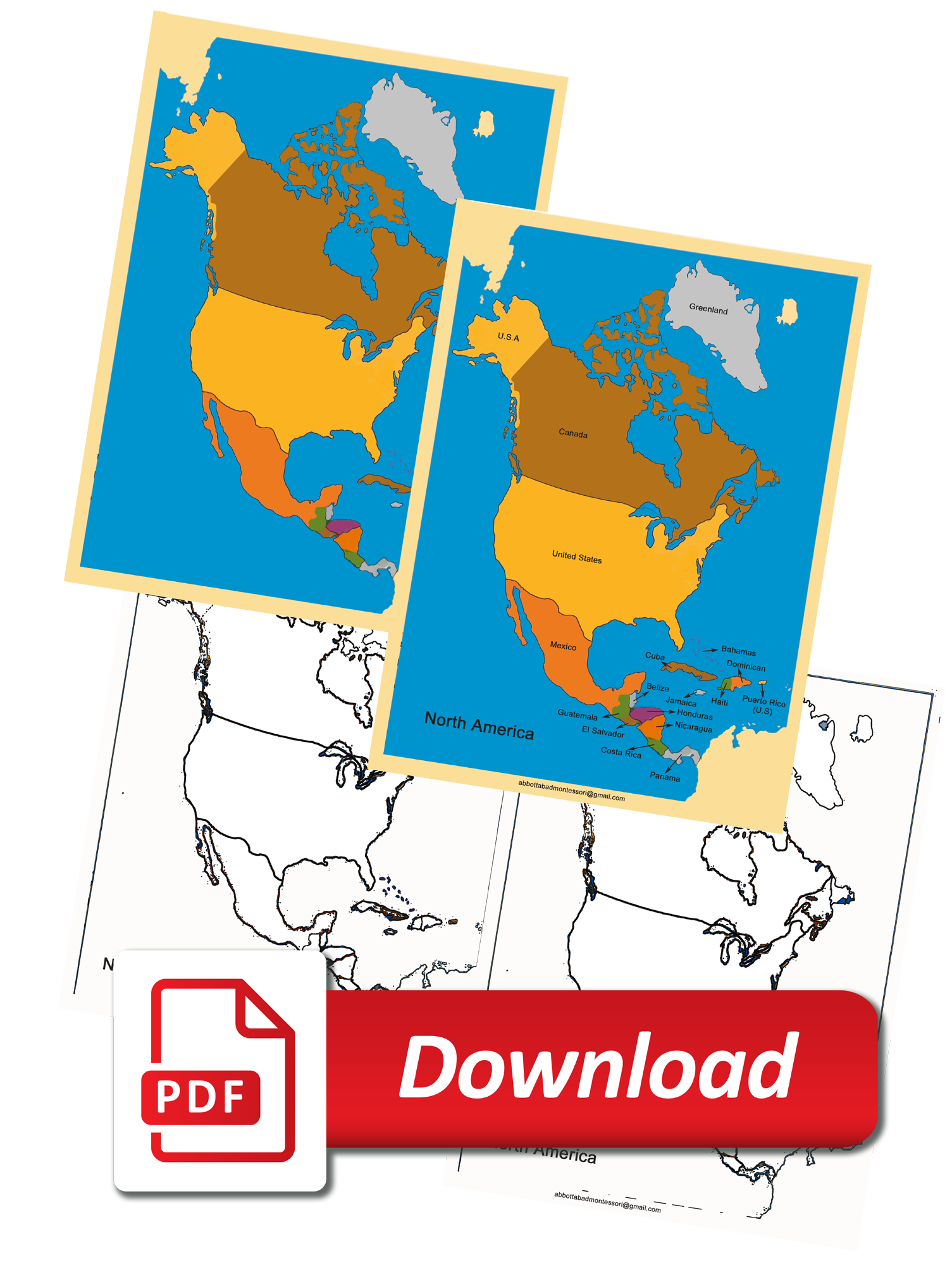
Montessori Four Map North America is a continent entirely within the Northern Hemisphere and almost all within the Western Hemisphere. It is bordered to the north by the Arctic Ocean, to the east by the Atlantic Ocean, to the southeast by South America and the Caribbean Sea, and to the west and south by the Pacific Ocean. Below you can download Montessori Four Map North America.

Download Free Montessori Four Map of North America printable PDF!
If you are a homeschooler or Montessori Teacher do not be afraid to personalize the materials for your family. Do not feel that you need to create classroom-ready materials. You just need to prepare materials that will add to your unique students learning experience.

PDF Files Size A3 (297 x 420 mm)/ 5 files
Each Map measures (400 x 560 mm)
Each Flags Measures (40 x 20 mm)
23 Flags includes.
- Map with countries names
- Map with countries capitals
- Map with countries flags
- Pin push map
- North America Countries Flags
>>>>>>you Can Download Here FREE set of maps Printable Files<<<<<<
Download Map with countries names
Download Map with Countries Capitals
Download Map with Countries Flags
Download North America Countries Flags
if you have any Question regarding Print Dimensions you can Add Comment or CONTACT US:
If You Want to buy Four Map of North America Please Visit https://montessori.edu.pk/?s=four+map+of+America
